Depth to the regional groundwater:
In the Mesopotamian plain, a regional groundwater system can be identified, as well as perched water tables under irrigated
conditions. The image below is based on the regional groundwater system. Year of data is unknown. Values are in meter below soil
surface.
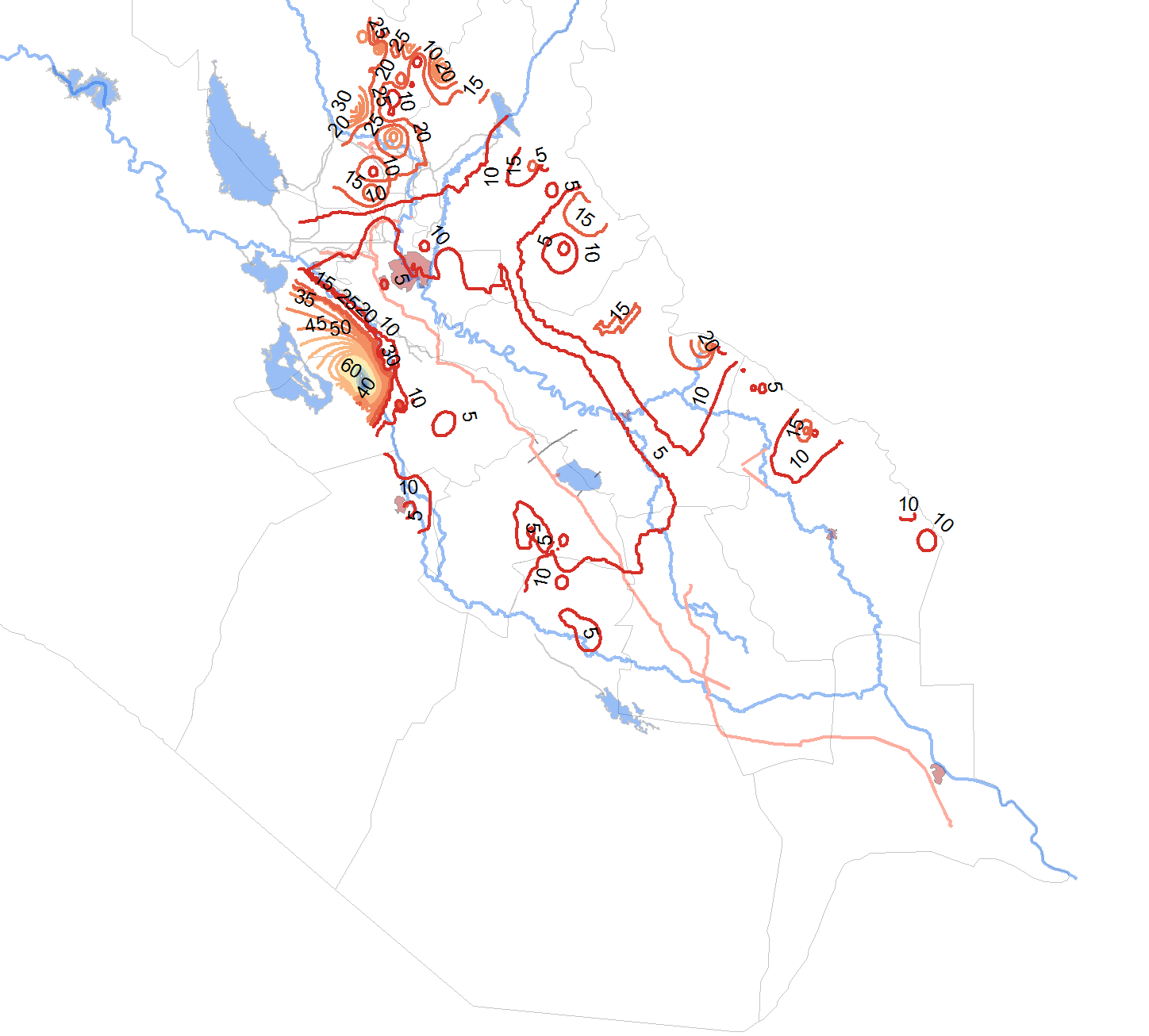 Year unknown |